GeoTech Masterclass: GeoData Visualisation
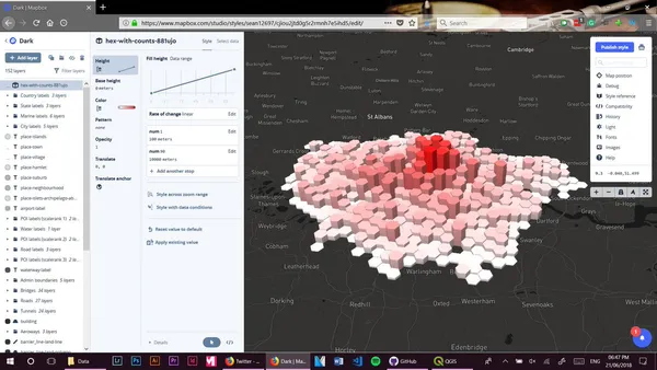
Over the span of nearly three hours, we were able to learn how to use QGIS to load a map, then visualize data above it, formatting it in anyway we please.
Over the span of nearly three hours, we were able to learn how to use QGIS to load a map, then visualize data above it, formatting it in anyway we please.